Colac West is a rural locality adjoining the western side of Colac in south-west Victoria, within Colac Otway Shire. It is located about 150 kilometres south-west of Melbourne and forms part of Victoria’s Western District farming region.
The surrounding landscape is characterised by open pasture, grazing land and low-density rural settlement, with agriculture remaining the dominant land use throughout the district. Dairy farming and livestock production continue to contribute significantly to the regional economy.
The 2021 Census recorded a small population, reflecting Colac West’s rural residential and agricultural character.
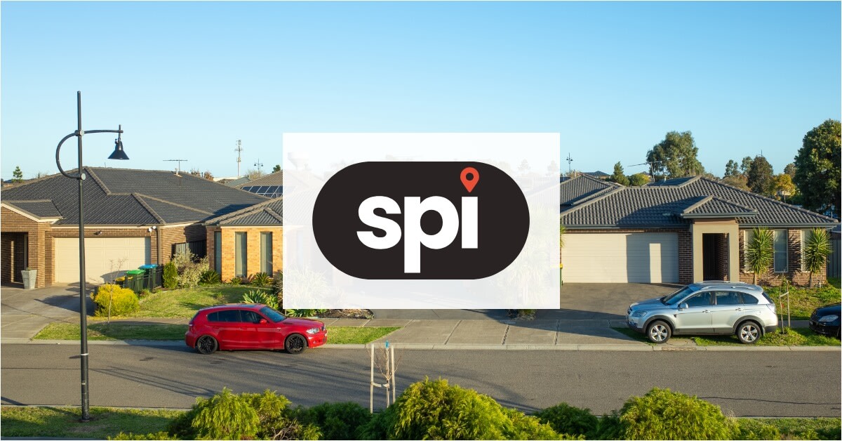
Housing in the locality mainly consists of detached homes on larger allotments, farms, and semi-rural properties, with residents generally relying on private vehicles for transport throughout the region.
Residents commonly access supermarkets, schools, healthcare, and commercial services in nearby Colac, the district's primary regional centre. Colac also provides access to Colac Area Health, sporting facilities and government services.
Public transport options within Colac West are limited, although Colac railway station provides V/Line rail services connecting Melbourne and Warrnambool through south-west Victoria.
The surrounding region includes recreational opportunities linked to Lake Colac, local sporting clubs, and nearby natural attractions associated with the Otway hinterland and the Great Ocean Road tourism corridor.
Road access through the Princes Highway supports regional travel and freight movement between Geelong, Warrnambool and surrounding farming communities across south-west Victoria.
Colac West retains a predominantly agricultural and rural-residential identity, with open landscapes and farming activity continuing to shape the locality and the surrounding district.
 Login
Login